The World Summit on the Information Society declared in the Geneva 2003 Plan of Action that all countries should aim “to connect all local and central government departments and establish websites and email address”.
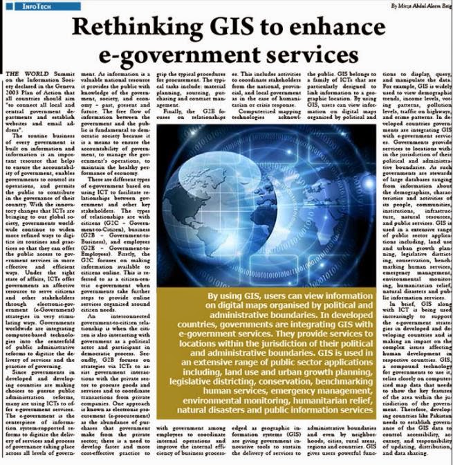
GIS is used in a extensive range of public sector applications including, land use and urban growth planning, legislative districting, conservation, benchmarking human services, emergency management, environmental monitoring, humanitarian relief, natural disasters and public information services.
In brief, GIS along with ICT is being used increasingly to support the e-government strategies in developed and developing countries and is making an impact on the complex issues affecting human development in respective countries. GIS, a compound technology for governments to use it, relies closely on computerized map data that needs to show the key features of the area within the jurisdiction of the government.


No comments:
Post a Comment